Devil’s Hole
Location: Bay County, Florida, United States
Devil’s Hole is a small cave system located within an isolated sinkhole several hundred feet from Econfina Creek in Washington County, Florida.
The site is situated deep in wooded terrain and is accessed via a dirt road with sandy sections that can be difficult to traverse without four-wheel drive.
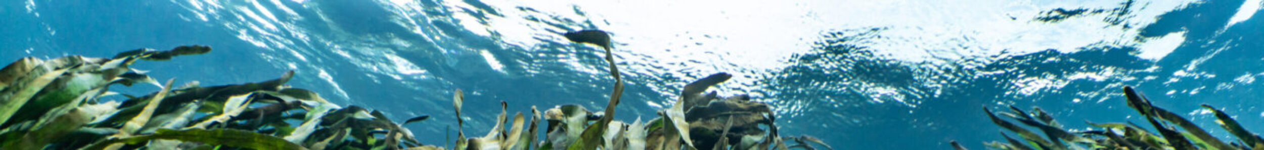
From the surface, the water appears opaque and green. Approximately 15 feet below the surface, visibility improves significantly.
Geological Context
Structure & Layout
Hydrological Characteristics
Exploration History
Cave Data
Current Status
Geological Context
Devil’s Hole is formed within limestone typical of the Econfina Creek basin.
The sinkhole is bowl-shaped, with multiple fallen trees partially obstructing the downstream side of the system. These natural obstructions reduce access to the downstream passage and limit interior penetration in that direction.
The upstream opening is located at the bottom of the sinkhole against the limestone wall.
Structure & Layout
The upstream entrance is small and requires removal of one sidemount cylinder to pass through. Once beyond the entrance, the main passage extends approximately 220 feet before reaching an intersection. From this point, the cave divides into two low passages that loop back toward each other. An additional offshoot passage was identified and lined in the late 2000s, contributing to a total surveyed length of approximately 500 feet.
The cave remains compact in overall extent but structurally varied within its confined footprint.
Hydrological Characteristics
Devil’s Hole exhibits strong current through the sinkhole system.
The downstream side is particularly forceful and is partially blocked by fallen trees. Clearing these obstructions could significantly increase downstream flow velocity, potentially making return to the surface difficult.
Even on the upstream side, current can complicate entry and exit.
During one dive, a diver was forced rear-first into the entrance restriction by the outgoing current and required assistance to disengage from the opening.
The confined nature of the entrance and concentrated flow make current management critical within this system.
Exploration History
Survey efforts documented approximately 500 feet of passage, including the looping sections and an offshoot discovered and lined in the late 2000s.
The system’s modest length contrasts with the hydrological force present at the sinkhole.
Portions of this cave system were explored and surveyed during cave dives conducted by Rob Neto while documenting Florida’s underwater cave systems for the book The Hidden Rivers of Florida.
Cave Data
Location: Bay County, Florida
Water Source: Floridan Aquifer
Cave Type: Submerged limestone cave system
Depth Range: 40–80 feet (12–24 meters)
Water Temperature: ~68°F (20°C)
Geology: Karst limestone
Primary Access: Spring sink
Exploration Status: Fully explored
Current Status
Devil’s Hole is characterized by:
- Small, confined upstream entrance
- Strong and sustained current
- Looping low-profile passages
- Limited overall length
Entry and exit both require careful management of positioning due to the force of the current.
The system remains a small but hydrologically active cave within the Econfina Creek basin.
Related Systems
Hidden Spring | Bone Cave
Judge’s Spring | Skipper Cave
Return to Choctawhatchee River Basin Cave Systems
Return to Florida Panhandle Cave Systems
Photo Gallery
Coming soon