Florida Panhandle Cave Systems
Overview
North Florida contains one of the most concentrated collections of freshwater spring cave systems in the United States. These Florida cave systems represent some of the most actively explored spring networks in North America.
These caves form within the Floridan Aquifer and discharge through limestone openings into rivers, creeks, and spring-fed basins. While hydrologically interconnected at depth, the systems are typically grouped by watershed and geographic proximity.
This section documents cave systems within three primary regions:
- Merritt’s Mill Pond Caves
- Chipola River Springs Systems
- Choctawhatchee River Basin Cave Systems (Holmes Creek & Econfina Creek)
Each basin exhibits distinct hydrological behavior, structural characteristics, and exploration history.
How Florida Underwater Caves Form
Florida’s cave systems develop within karst limestone through dissolution over geological time. As groundwater moves through fractures and bedding planes, passage enlarges and eventually intersects surface drainage features.
- Limestone host rock
- Spring discharge from the Floridan Aquifer
- Active hydrological flow
- Periodic structural collapse
- Fossil-bearing formations in certain regions
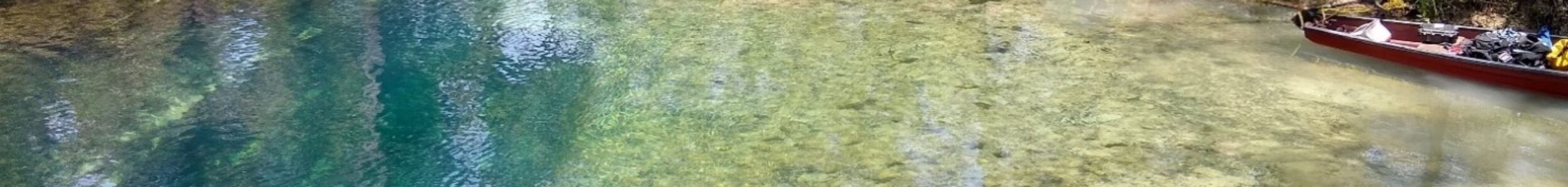
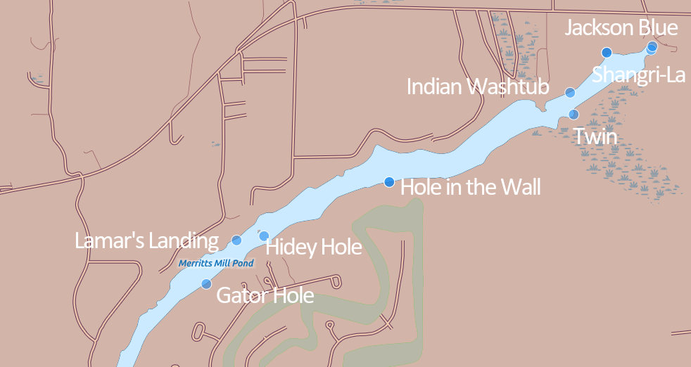
Merritt’s Mill Pond Systems
Jackson County, Florida
Although Merritt’s Mill Pond ultimately drains into the Chipola River, its springs are treated as a distinct group due to their geographic separation (approximately five to seven miles from the river) and shared structural characteristics.
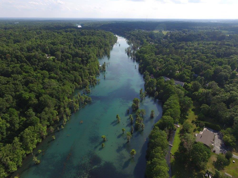
Chipola River Spring Systems
Jackson & Calhoun Counties, Florida
The Chipola River basin includes springs discharging directly into the river or through short spring runs.
River stage plays a significant role in:
- Entry feasibility
- Internal current strength
- Visibility conditions
- Bozel Spring (Baltzell Spring)
- Maddachalk Spring
- Maunds Spring
- Additional Spring Systems
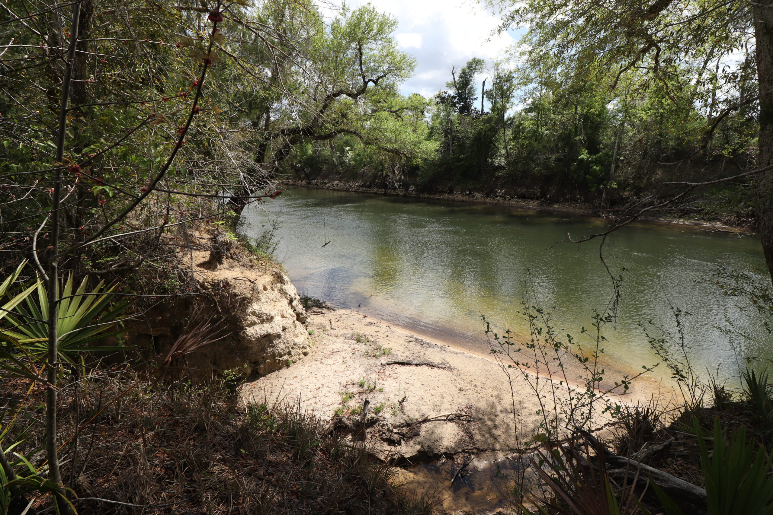
Choctawhatchee River Basin Cave Systems
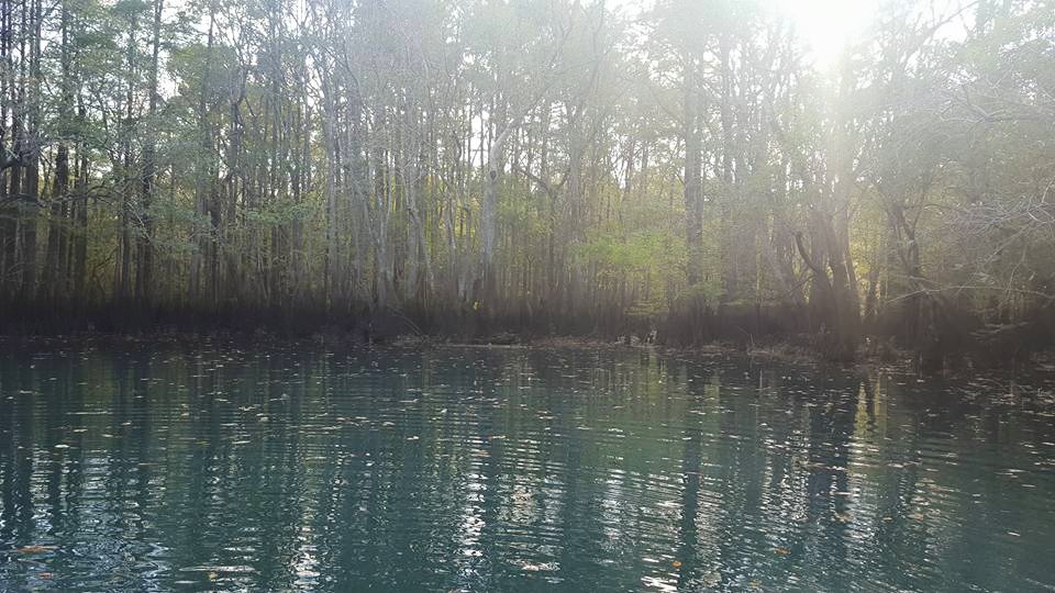
Holmes Creek & Econfina Creek Systems
Cave Exploration & Documentation in Florida
- Extension of previously mapped passage
- Discovery of new sections
- Survey and remapping efforts
- Structural collapse documentation
- Hydrological assessment
While some caves remain modest in scale, others extend for multiple miles and continue to evolve through both natural processes and ongoing exploration.
Maps of Cave Systems in the Florida Panhandle
Merritt’s Mill Pond Cave Systems
Current Status
Florida’s cave systems remain dynamic and hydrologically active.
- Water level fluctuations
- Structural collapse
- Sediment movement
- Human management decisions
This documentation reflects both historical context and modern conditions across multiple basins.
Documentation based on decades of exploration and published survey work.
Florida’s underwater cave systems require advanced overhead diving certification, appropriate equipment configuration, and strict adherence to safety protocols. The information provided here is educational and descriptive. These environments demand formal training and preparation before entry.
The Hidden Rivers Project
The exploration of many Florida cave systems and the stories behind these discoveries are documented in the book Hidden Rivers of Florida. The book describes the exploration history, challenges, and discoveries made by cave divers working to map these submerged passages.