Choctawhatchee River Basin
Overview
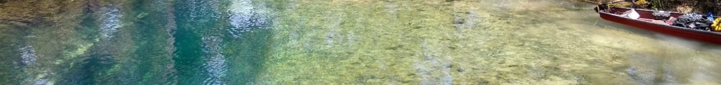
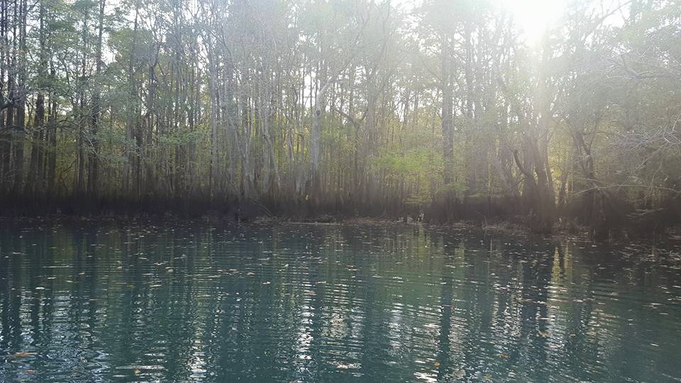
The Choctawhatchee River basin in the Florida Panhandle contains a diverse collection of spring-fed cave systems distributed along Holmes Creek, Econfina Creek, and the main river channel. These systems differ from pond-based and riverbank springs of the Chipola basin due to their strong tannic surface water influence and highly variable hydrological conditions.
The Choctawhatchee River Basin Cave Systems represent one of several major cave diving regions within the Florida Panhandle. For a broader overview of regional geology and basin structure, see the Guide to Cave Diving in the Florida Panhandle.
Geological Context
- Tannic surface water mixing
- Strong, focused discharge points
- Small, concealed entrances
- Sediment-sensitive passage
Notable Systems
Holmes Creek Systems:
Econfina Creek Systems:
Choctawhatchee River Basin:
Other
Each system exhibits unique structural features, ranging from high-flow riverbank discharges to concealed creek-floor openings.
Hydrology & Creek Influence
Cave systems within the Choctawhatchee watershed are heavily influenced by creek stage and seasonal rainfall. Tannic surface water often overlays clear spring discharge, and entry feasibility may vary significantly depending on water level. Current strength, visibility, and sediment movement fluctuate more dramatically here than in many pond-based systems.
Exploration Significance
- Strong and variable current
- Restricted entries
- Silt-sensitive passage
- Fossil-bearing limestone
The Choctawhatchee basin represents one of the most hydrologically variable cave regions in North Florida. While many systems are modest in length, their strong discharge, tannic mixing, and restrictive entry points create uniquely dynamic cave environments. Major storm events have periodically altered access and sediment conditions within several basin systems.
Current Status
The Choctawhatchee basin systems remain active and condition-dependent.
Diving feasibility is often directly tied to water level and flow conditions within the creeks.
Despite generally shorter passage lengths compared to some Merritt’s Mill systems, these caves present distinct hydrological and technical characteristics.
See also: Maps of Cave Systems in the Florida Panhandle
Return to Florida Cave Systems
Frequently Asked Questions
There are 13 documented springs that feed the river basin. These include Vortex, Ponce de Leon, and Morrison Springs. This only includes springs along the river and excludes Holmes Creek.
olmes Creek has the second largest concentration of springs in Northwest Florida with 57 documented springs. The springs in this inventory include Cypress Spring, Hidden Spring, and Judge’s Spring.
The creek is 16 miles long and feeds into the Choctawhatchee River. There are more than a dozen boat launches along the creek, providing easy access to the many springs.