Merritt’s Mill Pond Caves
Overview
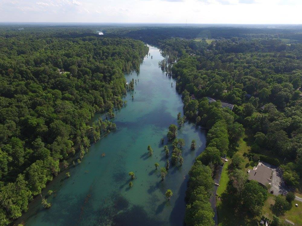
Merritt’s Mill Pond contains one of the highest concentrations of documented freshwater cave systems in North Florida. Located in Jackson County near Marianna, the pond has become a focal point for cave exploration and technical diving for decades.
Although hydrologically connected to the Chipola River system, the springs of Merritt’s Mill Pond are generally treated as a distinct group due to their geographic separation and their shared geological and diving characteristics. The springs begin approximately five miles from the main river with the head spring, Jackson Blue, located approximately seven miles from the river.
The pond contains several of Florida’s most well-known cave systems.
Merritt’s Mill Pond represents one of several major cave diving regions within the Florida Panhandle. For a broader overview of regional geology and basin structure, see the Guide to Cave Diving in the Florida Panhandle.
Geological Context
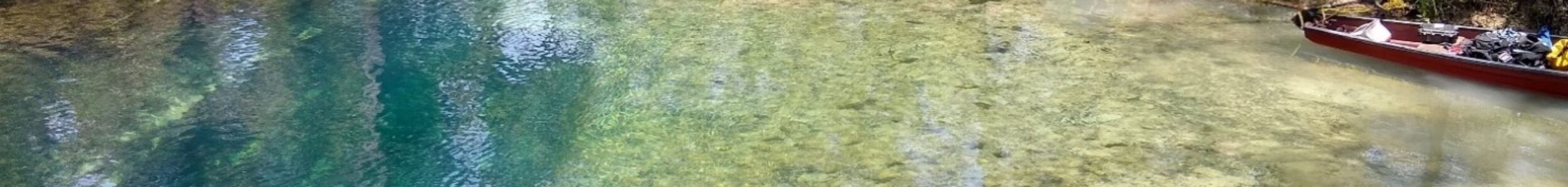
Merritt’s Mill Pond is fed by multiple limestone spring systems discharging from Florida’s karst aquifer.
The pond functions as a collection basin for these springs before ultimately draining into the Chipola River. The springs vary in size, structure, and flow characteristics but share similar limestone development and water chemistry.
Many systems in the pond exhibit periodic structural collapse, sediment sensitivity, and hydrological interplay between neighboring caves.
Notable Systems
The following cave systems are located within Merritt’s Mill Pond:
- Jackson Blue Spring Cave System
- Hole in the Wall cave system
- Twin Cave system
- Shangri-La Cave
- Indian Washtub
- Hidey Hole
- Lamar’s Landing
Several of these systems exhibit potential hydrological relationships, though confirmed physical connections remain limited.
Exploration Significance
Merritt’s Mill Pond has been the site of significant exploration efforts spanning multiple decades.
Extensions, remapping projects, and new section discoveries, including Jackson Blue 2 and 3 and Hole in the Wall Trash Room and southward extension, have expanded understanding of the pond’s cave network.
The area remains geologically active, with documented collapse events altering passage over time.
The cave systems of Merritt’s Mill Pond represent one of the most intensively explored spring cave networks in Florida and continue to evolve through both natural processes and ongoing documentation.
Current Status
- High-flow systems
- Restrictive entrances
- Multi-branch cave networks
- Ongoing exploration potential
See also: Maps of Cave Systems in the Florida Panhandle
Return to Florida Panhandle Cave Systems
Frequently Asked Questions
There are 8 documented springs in the pond. These include Jackson Blue Spring, the head spring, Hole in the Wall Cave System, and Twin Cave.
Merritt’s Mill Pond is 4.5 miles/7.25 km long from Jackson Blue Spring to the dam. It covers an area of 202 acres. The maximum depth on the pond floor is about 10 feet/3 m. Jackson Blue is the deepest spring opening and reaching a depth of just over 12 ft/4 m.
Yes, the pond empties into Spring Creek, located downstream of the dam. Spring Creek travels through the forest for approximately 2.5 miles/4 km and feeds the Chipola River.