Florida Springs and Cave System Maps
Introduction
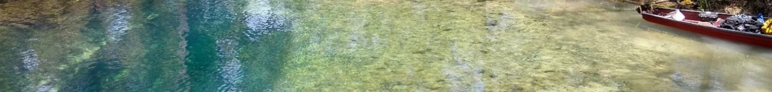
Florida contains some of the most extensive underwater cave systems in the world. Beneath the state’s springs, rivers, and sinkholes lies a hidden network of passages carved into limestone by groundwater flowing through the Floridan Aquifer.
This map collection provides general locations of the Florida springs within each of their locales. Visit the individual system’s pages to see cave system maps from across Florida’s major cave-diving regions. From the spring-fed lakes of the Florida Panhandle to the vast cave networks of North Florida and the Woodville Karst Plain down to the Silver River Basin, these maps help illustrate the scale and complexity of Florida’s hidden rivers.
Whether you are a cave diver, researcher, paddler, or simply interested in Florida’s geology, these maps offer a unique glimpse into the underground world beneath the Sunshine State.
Regional Spring and Cave System Maps
Explore maps of cave systems located within the Florida Panhandle, including Jackson Blue Spring, Merritt’s Mill Pond, Cypress Spring, Morrison Spring, Vortex Spring, and other notable underwater caves.
View Florida Panhande Cave Maps
Discover cave maps from the Suwannee River Basin, Santa Fe River Basin, and Withlacoochee River Basin. Featured systems include Madison Blue Spring, Devil’s Eye and Ear, Little River Spring, Eagle’s Nest, Lafayette Blue Spring, and many others.
Explore maps of Central Florida’s spring systems, including Silver Springs and other notable groundwater features connected to the Floridan Aquifer.
View Central Florida Cave Maps
Understanding Florida Cave Maps
Cave maps are created through detailed underwater surveys conducted by cave divers and explorers. These surveys document passage dimensions, depth profiles, restrictions, side passages, and connections between springs and sinkholes.
Many of Florida’s most famous cave systems continue to grow as exploration teams discover and survey new passages. As a result, maps are continually updated as additional sections of cave are explored and documented.
Current Status
The maps featured throughout Hidden Rivers of Florida represent decades of exploration, survey work, and scientific research. While some systems have been extensively documented, others continue to reveal new passages and connections.
As additional maps become available, this collection will continue to expand, providing a comprehensive resource for anyone interested in Florida’s remarkable underground waterways.