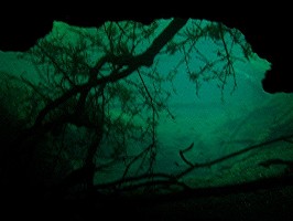
Leon Sinks Geological Area
Location: Leon County, Florida, United States
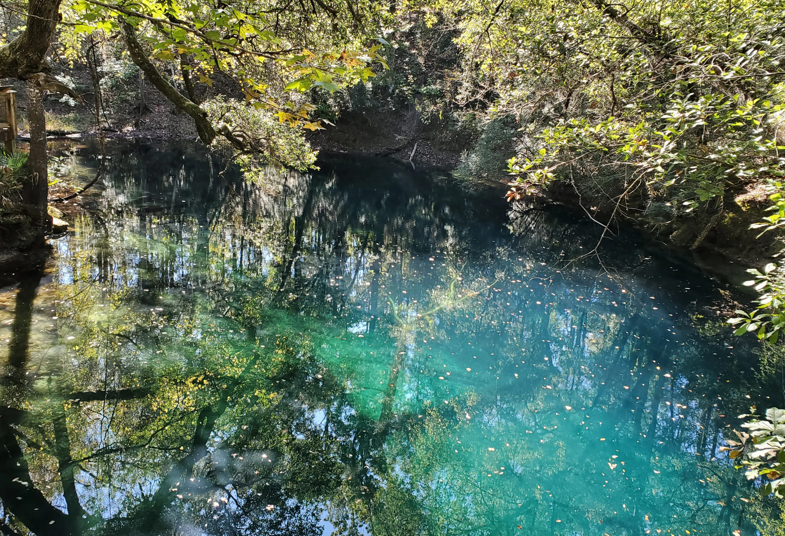
Florida’s Window into the World’s Largest Underwater Cave System
Located within the Woodville Karst Plain in southern Leon County, the Leon Sinks Geological Area preserves one of Florida’s most spectacular karst landscapes. Dozens of sinkholes, disappearing streams, and underground passages reveal the immense power of groundwater as it dissolves the limestone beneath North Florida.
While hikers come to explore the scenic sinkholes and forested trails, cave divers recognize Leon Sinks as something even more remarkable. Beneath the hardwood hammocks lies a vast network of underwater conduits connected to Wakulla Spring. Today, the Wakulla-Leon Sinks Cave System is the longest underwater cave system in the United States and among the longest in the world.
FREE FLORIDA SPRINGS GUIDE
Want to discover more of Florida’s hidden waterways?
Download The 25 Most Notable Springs and Cave Systems in Florida and explore some of the state’s most remarkable spring basins, underwater cave systems, and hidden natural treasures.
✓ Featured springs throughout Florida
✓ Cave systems and exploration highlights
✓ Popular destinations and hidden gems
✓ Instant download
Leon Sinks Geological Area is managed by the Florida Department of Environmental Protection and offers several well-maintained hiking trails through mature hardwood forests and karst terrain.
Visitors can explore numerous sinkholes while learning about the geology that shaped the Woodville Karst Plain.
Sinkhole Trail
3.1 miles
The longest trail in the park visits many of the area’s most impressive sinkholes, including Big Dismal and several dry collapse features.
Gumswamp Trail
2.3 miles
A scenic trail through swamp forest highlighting both wetlands and karst features.
Crossover Trail
0.5 mile
An observation platform overlooking Big Dismal Sink provides one of the best opportunities to appreciate the scale of the area’s karst landscape.
Geological Context
Leon Sinks Geological Area occupies part of the Woodville Karst Plain, an extensive karst region developed within the Upper Floridan Aquifer. Over millions of years, slightly acidic groundwater dissolved the Ocala Limestone, creating a complex landscape of sinkholes, springs, caves, disappearing streams, and underground rivers.
Unlike many Florida parks where the geology is hidden beneath vegetation, Leon Sinks provides a rare opportunity to observe karst processes at the surface. Streams disappear into sinkholes, groundwater moves unseen through hidden rivers beneath the forest, and eventually reemerges at major springs such as Wakulla Spring.
This continuous movement of groundwater has produced one of the world’s most complex underwater cave systems.
Hydrological Characteristics
The Leon Sinks Cave System serves as a major groundwater conduit within the Upper Floridan Aquifer.
Rainfall entering sinkholes throughout the Woodville Karst Plain travels through extensive underground passages before eventually discharging at Wakulla Spring.
This direct hydraulic connection makes Leon Sinks an important area for groundwater protection. Contaminants entering sinkholes within the recharge basin may eventually emerge at Wakulla Spring, highlighting the importance of preserving the region’s natural landscapes.
The Wakulla-Leon Sinks Cave System
The submerged cave beneath Leon Sinks forms part of the Wakulla Cave System, a dendritic network of large conduits extending beneath much of the Woodville Karst Plain. The main Wakulla conduit extends more than 3.8 miles (6.1 km) south from Wakulla Spring before branching into several major secondary conduits, including the Leon Sinks branch.
Unlike many cave systems that constantly change in size, the passages within Wakulla are remarkably consistent. Large tubular conduits often maintain depths approaching 300 feet (91 meters) while periodically expanding into enormous chambers where multiple passages intersect.
Most of the secondary conduits have now been explored and mapped.
- Wear sturdy hiking shoes, as tree roots and uneven limestone make sections of the trails rugged.
- Visit during cooler months for the most comfortable hiking conditions.
- Bring binoculars. The hardwood hammocks and wetlands support a variety of birds and wildlife.
- Don’t rush through Big Dismal. Standing on the observation platform, it’s remarkable to consider that one of North America’s largest underwater cave systems begins beneath the still water far below.
A Historic Connection
On December 15, 2007, members of the Woodville Karst Plain Project (WKPP) completed one of the most significant discoveries in cave exploration history. After years of exploration, survey work, and underwater excavation, divers successfully connected the to the Wakulla Cave System.
The discovery created the Wakulla-Leon Sinks Cave System, establishing it as:
- The longest underwater cave system in the United States
- The sixth longest underwater cave system in the world at the time
- More than 32 miles (51.5 km) of surveyed underwater passage
The connection fundamentally changed scientists’ understanding of groundwater flow beneath the Woodville Karst Plain and demonstrated that springs and sinkholes separated by miles at the surface are directly connected underground.
Sinkholes of Leon Sinks
Leon Sinks Geological Area contains numerous wet and dry sinkholes, each representing different stages in the development of Florida’s karst landscape.
Wet Sinkholes
- Big Dismal
- Black Sink
- Duckweed Sink
- Fisher Creek Sink
- Hammock Sink (Little Dismal)
- Lost Stream Sink
- Magnolia Sink
- Natural Bridge Sink
Among these, Big Dismal Sink is perhaps the best known. The sink drops approximately 100 feet to the water’s surface, while the underwater shaft continues another 100 feet before reaching a cave entrance located roughly 80 feet below the water surface.
Dry Sinkholes
- Back Sink
- Big Eight Sink
- Cone Sink
- Far Sink
- Field Sink
- Gopher Hole
- Johnson Sink
- Palmetto Sink
- Tiny Sink
- Turner Sink
These dry depressions illustrate how sinkholes evolve over time as groundwater levels fluctuate and limestone continues to dissolve beneath the surface.
Cave Data
Although recreational cave diving is no longer permitted within Leon Sinks Geological Area, the cave system played an important role in the exploration of the Wakulla-Leon Sinks Cave System.
I had the opportunity to explore portions of the Leon Sinks Cave System before access ended, entering through Promise Sink.
Swimming upstream, the passage quickly descended beyond 200 feet, opening into enormous rooms where even powerful dive lights struggled to illuminate the far walls. The sheer size of the passages made the cave feel almost limitless.
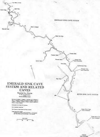
Downstream presented an entirely different experience. The cave became shallower and continued for miles beneath the forest above. During one exploration, a penetration distance of approximately 3,000 feet was achieved while passing beneath several sinkholes including Go Between Sink, Fern Sink, Cream Sink, Woods Sink, Trench Sink, Venture Sink, and Clear Cut Sink before beginning the return dive.
Knowing that hikers walked quietly through the forest directly above while an enormous river flowed unseen beneath them remains one of the most memorable experiences I’ve had during my cave diving years.
Current Status
Today, Leon Sinks Geological Area remains one of Florida’s premier destinations for experiencing karst geology. Although cave diving is no longer permitted, visitors can explore the area’s hiking trails, observe numerous sinkholes, and gain an appreciation for the extraordinary underground landscape hidden beneath the forest.
Ongoing scientific exploration by the Woodville Karst Plain Project continues to expand our understanding of one of the world’s largest underwater cave systems.
This system is discussed in The Hidden Rivers of Florida because of its importance to cave exploration and ground water research.
Learn about the bookFrequently Asked Questions
Leon Sinks Geological Area is located in southern Leon County, Florida, within the Woodville Karst Plain.
Yes. The Leon Sinks Cave System is directly connected to Wakulla Spring through the Wakulla-Leon Sinks Cave System.
No. Recreational cave diving is no longer permitted within the geological area.
It is the interconnected underwater cave system linking Leon Sinks and Wakulla Spring. At the time of its discovery in 2007, it became the longest underwater cave system in the United States and the sixth longest in the world.
The connection established more than 32 miles (51.5 km) of surveyed underwater passage. Additional exploration and survey work have continued since then.
Yes. Leon Sinks Geological Area offers the Sinkhole Trail (3.1 miles), Gumswamp Trail (2.3 miles), and Crossover Trail (0.5 mile).
Continue Exploring Florida’s Hidden Waters
If you enjoyed the information about this springs, you’ll love the free guide:
The 25 Most Notable Springs and Cave Systems in Florida
From world-famous destinations like Wakulla, Jackson Blue Spring, and Peacock Springs to lesser-known hidden gems, this guide introduces some of Florida’s most fascinating natural wonders.
Download your free copy and continue exploring beyond the surface.
Get the Free Guide →Nearby Springs
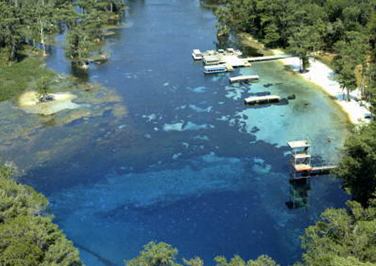
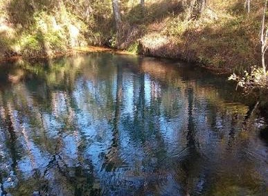
Photo Gallery
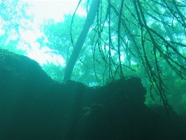
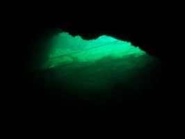
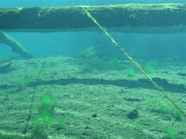
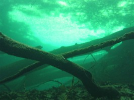
The following images were taken in Promise Sink by Rob Neto. These are areas described in Discoveries.